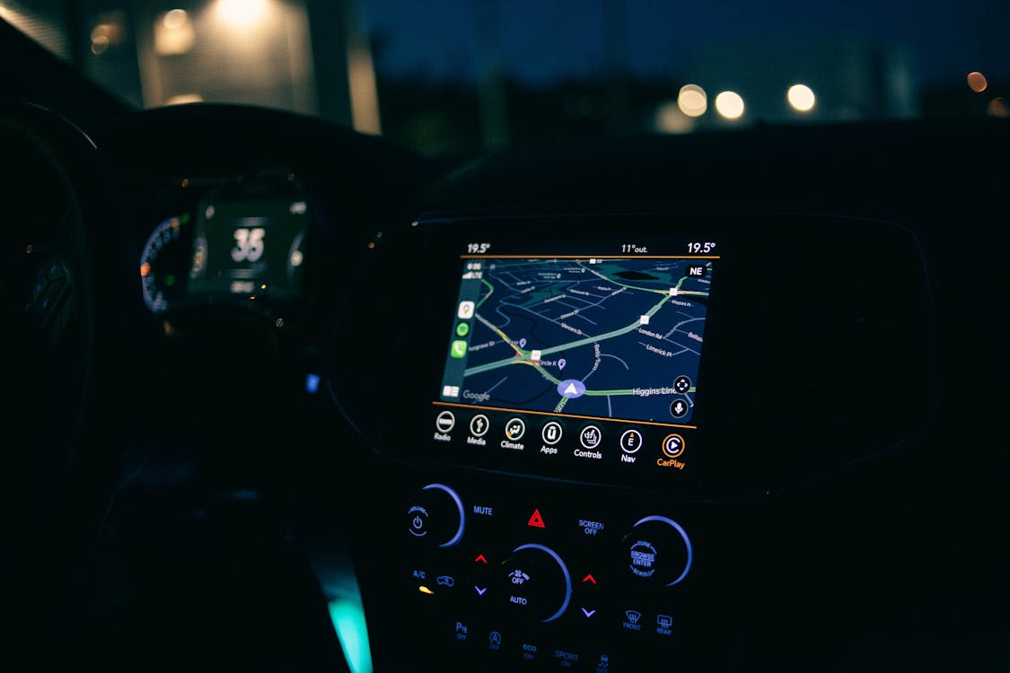
You’re following directions on your phone, but suddenly, your GPS marker jumps to the wrong street or spins in circles between buildings. Urban environments, with their towering skyscrapers and narrow streets, can throw even the most advanced navigation systems off course.
The culprit isn’t bad technology; it’s physics. GPS gets confused in cities because of how satellite signals interact with metal, glass, and concrete canyons.
How GPS Actually Works
The Global Positioning System (GPS) relies on a constellation of about 30 satellites orbiting Earth. Each satellite constantly broadcasts signals containing precise time and location data. Your device receives signals from at least four satellites and calculates your position by measuring the time it takes for each signal to arrive, a process known as trilateration.
In open areas, this system is astonishingly accurate, usually within a few meters. However, in dense urban environments, those clear lines of communication become tangled.
Check out How Birds Know Where to Migrate Without Getting Lost for a look at nature’s navigation systems.
The “Urban Canyon” Effect
Cities are full of reflective surfaces: glass windows, metal structures, and concrete walls. These materials cause multipath interference, where GPS signals bounce off buildings before reaching your device. Because reflected signals travel a longer path, your phone receives mixed information about distance and timing.
The result? Your GPS may think you’re 50 feet away or even on a parallel street. The more skyscrapers in the area, the stronger this distortion becomes. This phenomenon is known as the urban canyon effect, and it’s particularly severe in downtown areas of major cities like New York, Tokyo, or Hong Kong.
Even tall trees or moving vehicles can scatter signals enough to reduce accuracy, especially when combined with environmental factors such as humidity or electromagnetic noise.
Learn The Real Reason Airplane Windows Have Tiny Holes for a quick engineering explainer.
Satellite Visibility and Line-of-Sight
Another key factor is satellite visibility. Your GPS device needs to “see” multiple satellites in different parts of the sky to calculate your position correctly. In a city, buildings block large portions of the horizon, limiting the number of satellites that are within line of sight.
When only two or three satellites are visible, your device struggles to compute an accurate fix, often defaulting to guesswork based on the strongest signals available. This is why maps sometimes “snap” your position to the nearest known road or intersection. Simply put, your device is estimating rather than measuring.
The Role of Assisted GPS and Wi-Fi
To overcome these challenges, modern smartphones utilize Assisted GPS (A-GPS), which supplements satellite data with signals from cell towers and Wi-Fi networks. These local sources help narrow down your location faster, especially when satellite coverage is weak.
However, Wi-Fi and cellular triangulation depend on known network positions. In motion, such as driving through a dense downtown area, the system constantly switches between sources, sometimes producing erratic jumps or brief signal losses.
Newer navigation systems also integrate inertial sensors (accelerometers and gyroscopes) to track movement between satellite updates. Even so, in deep urban canyons, accuracy can still drift.
Explore The Secret Life of Dust: Why You Can’t Escape It to see how tiny particles can muddle signals.
The Future: Smarter GPS and 3D Mapping
To alleviate urban confusion, researchers are developing multi-constellation receivers that utilize not only U.S. GPS but also European Galileo, Russian GLONASS, and Chinese BeiDou satellites simultaneously. More satellites mean more data points—and better accuracy, even with some blocked views.
AI-assisted 3D mapping is another breakthrough. By modeling city skylines, GPS algorithms can predict how signals will reflect and adjust calculations accordingly. Initial tests suggest that this method can reduce location errors by more than half in densely populated downtown areas.
Eventually, with high-frequency positioning and real-time correction data, your phone may be able to pinpoint your location within a few inches, or even between skyscrapers.
A Reminder from Above
Every time your GPS glitches in the city, it’s not a failure. It’s a glimpse into how delicate and extraordinary the system really is. It’s trying to connect with satellites thousands of miles away through a maze of reflections, signals, and speed.
That tiny blue dot on your map represents an ongoing dialogue between space and Earth, and it’s still learning to find its way among the towers we’ve built.